 |
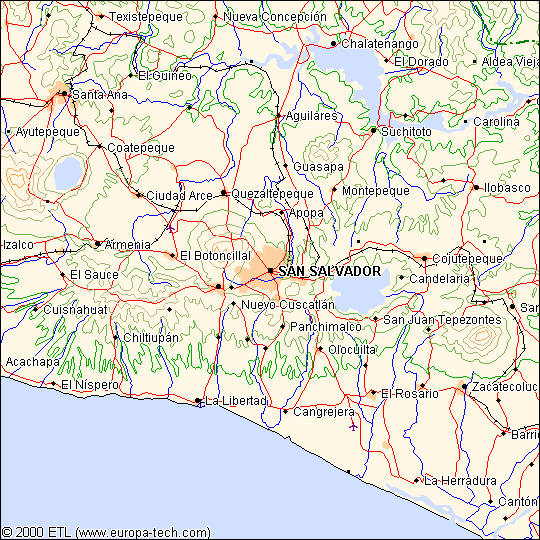
| http://salvaspan.homestead.com/files/la_libertad.jpg Even though its kind of a fast map and small, it looks plain. The Mid-West of El Salvador C.A. mostly urbanize and highly populated cities shown in peach color. Notice that the color is known for what it is, obvious blue for rivers, green for plains while they rise to high altitude terrain, red for major transits, and black for railroad tracks. Upon the data mostly lines and dots, but not much polygon depiction. |
Wednesday, August 31, 2011
Geog Lab 1 Map-2
Subscribe to:
Post Comments (Atom)
No comments:
Post a Comment