 |
| The only difference of this layout was to change the number from 2707 to 4001. Also about the chart as I tried to another and field calculate for the Acres but for some minor reason it didn't want to calculate the numbers into the attribute chart. |
Monday, November 14, 2011
GIS Lab 10 - 16c
GIS Lab 10 -16a
 |
 | |
| Chapter 16a is the tutorial of editing features and attributes, also it shows features like deleting and modifying the parcel areas within the edit session. |
GIS Lab 10 - 16b

 |
| 16b splitting and modifying features here it depicts that 2707 has split in to two areas of parcels. With the shape being the same 2707 polygon, the Shape area 2707 Big -94611.381 and 2707 Small -12637.322 . |

 |
| In this exercise, the task is to remove the duplex from the cul-de-sac. Due to the reason that an owner bought the other half and now wants to join both parcel areas into one structure. As the process goes by we end up with Shape area of 17354.414 of parcel area 2855. |
GIS Lab 10 - 15b
 |
| 15b Editing Parcels while using the feature construction tools to digitize features representing the lands parcels that consist in this exercise. |
 |
| This parcel is drawn from my specifications while following the tutorials of this exercise. Now you notice that I added and proposed 2 parcels to the subdivision for the City data geodatabase. |
GIS Lab 10 - 15a
 |
| 15a consists of creating and editing data such as digitizing water lines to connect undeground valves. In this subdivision thats under construction layers of water valves, fire hydrants, water lines and parcels are common usage for this exercise. Using the cursor valve lines from 813 to 763 to 831 and ending it up to the hydrant. |
Thursday, November 10, 2011
GIS Lab 10 - Tool Map
 | |||
| The point data set from chapter 9a, the Louisiana parishes while on the spatial statistics tool I decided to choose the Average Nearest Neighbor index from the Analyzing Patterns tool set. Its purpose is based on the average distance from each feature to its nearest neighboring feature. |
Monday, November 7, 2011
GIS Lab 9 - 12c
 |
| Lastly, calculatiing attribute values for all records for Lease F for the bidding came out like 1,052.08379, so the harvest is just over a billion (statistics). |
GIS Lab 9 - 12b
 |
| Overlaying Data where the harvestable area of lease F is composed of all polygons in the Final layer that have a value of -1 in the no cut area set. |
Sunday, November 6, 2011
GIS Lab 9 - 12a
 |
| Using Buffering to determine the value of harvestable land in Lease F (above). The Buffer layers define the areas within which trees cannot be cut. |
GIS Lab 9 - 11d
 |
| Exporting Data, so nests are contained within polygons, so instead of clipping or dissolving, we will export the selected sets to make the Goshawk Nests layer to the point Data. |
GIS Lab 9 - 11c
 |
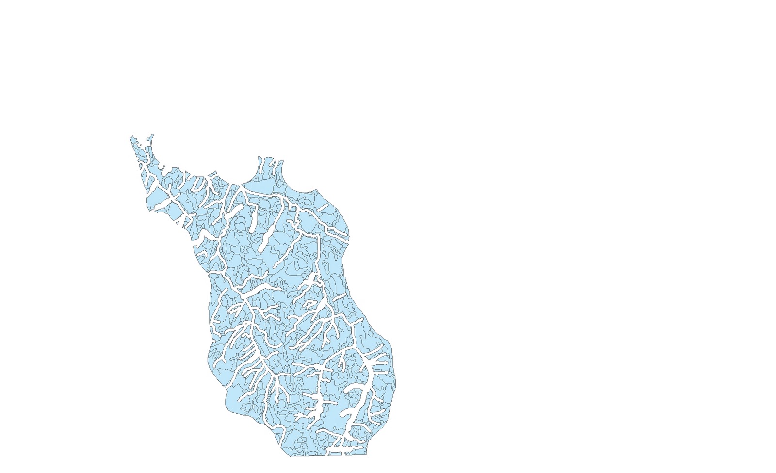
| Clipping layers in five lease areas that contains a segment of 1,556 streams. Clipped on the left side and right the segment streams ready to be clip. |
 | |||
| From 1,566 to 358 streams clipped upon this lease stand while using the StreamsF layer. |
GIS Lab 9 - 11b
 |
| Adding graphs to the layout page to represent the Values of the forest stand into the lease areas. |
GIS Lab 9 - 11a
 |
| The Lease areas of the five stands from the Forest Service, in dissolving mode/image. |
 |
| The Forest Service in present of five adjacent areas that are also lease areas. |
Subscribe to:
Comments (Atom)